A responsive Digital Twin to seamlessly visualize, explore, and combine geospatial information across Sumatra, Java and Bali. This platform supports disaster-resilient wide-area planning considering potential carbon neutrality pathways.
The GeoDigitalTwin (GDT) project is an innovative initiative aiming to create a sophisticated decision-making support tool.
This tool is designed to facilitate informed decision-making for sustainable development, incorporating various data layers and strengthening local capacity through training materials and operational manuals
Key stakeholders include the ADB Indonesia Resident Mission, BAPPENAS, and ORPA.
THE GEODIGITALTWIN PLATFORM
This GeoDigitalTwin web platform is designed to provide users with an immersive and interactive experience of Sumatra’s geographic and urban landscapes.
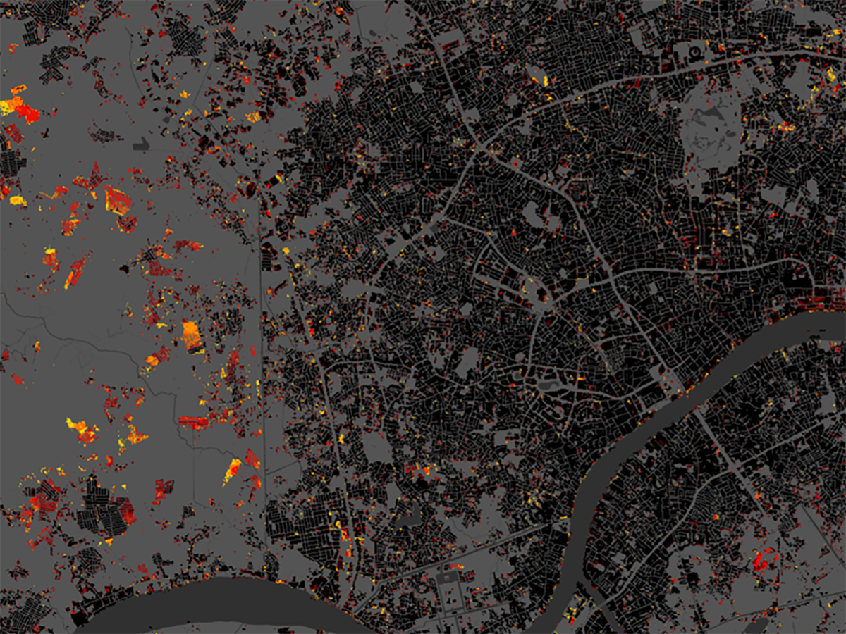
By integrating a wide array of geospatial data from Earth Observation and other sources, GDT will provide a comprehensive 4D virtual environment for Sumatra, Java and Bali.
These include topographical data, urban infrastructure layouts and mobility, environmental data showcasing natural resources and biodiversity, climate data, air quality indicators and socio-economic layers.